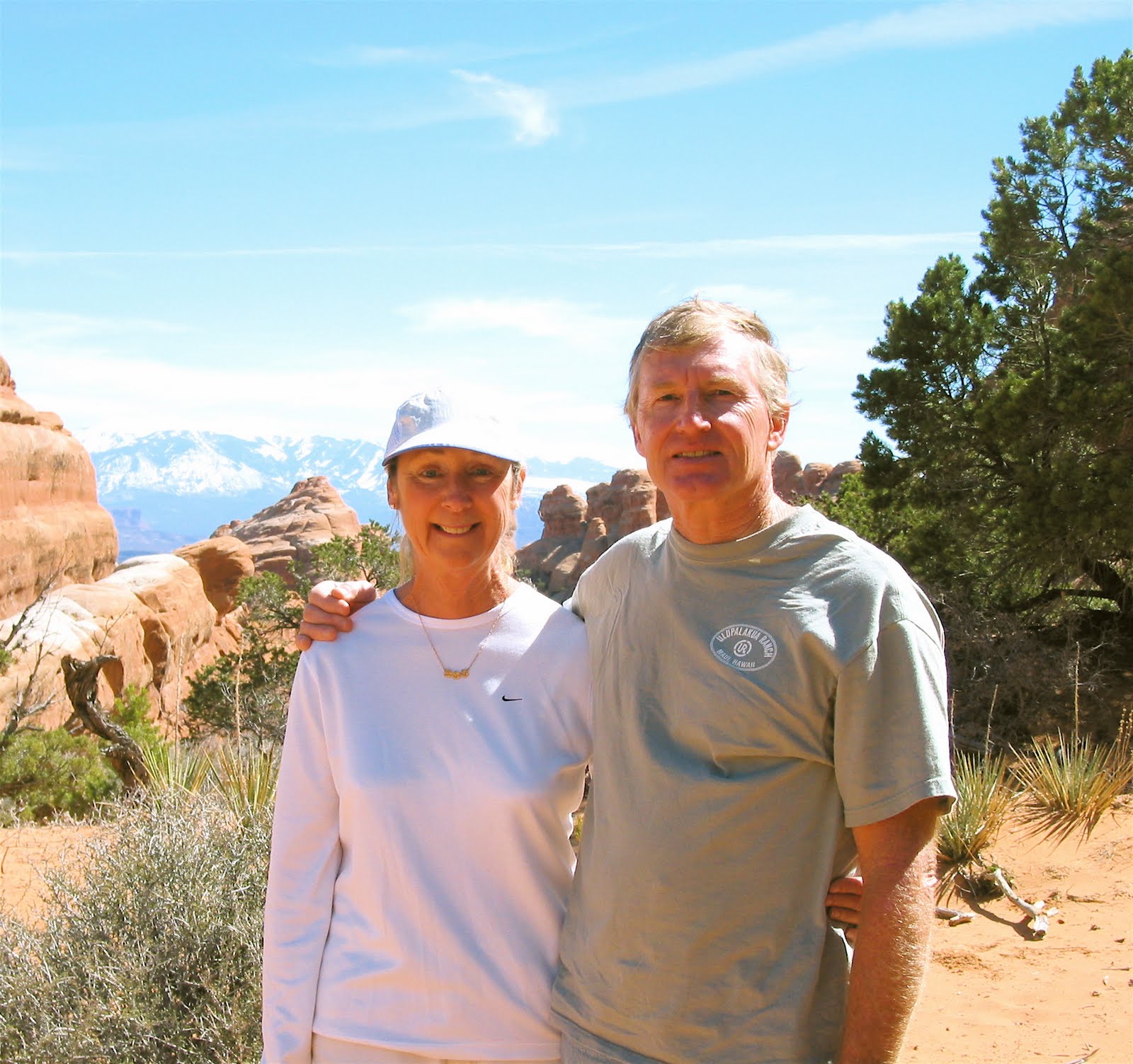

OK, we’ve been to a string of National Parks. These are beautiful places and we love them dearly but it’s time to get lost. Maybe find somewhere barely on the map. In fact Sheep Creek does not appear on any map we have. We found it four years ago and return to find it more beautiful and fascinating than we even remembered.
The drive down here from thee Tetons takes most of a day. Leaving Teton (not easy to do) the road follows the Hoback river valley through some gorgeous country, dramatic mountains and cliffs, pine and fir forest with swaths of aspen and cottonwood turning golden, red and orange. Then cresting out of the river valley the scenery changes to sage flats, and sage flats it is for 150 miles. This is the Big Sandy basin, 5,000 feet high, almost completely flat. Proghorn country and a delightful place to cross in a covered wagon if your on your way out west. We pass a section of the Oregon trail and the headlands of the Green River which up here is only a winding gully filled with willows and cottonwood. We continue south past Green River Wyoming , more sage flats for another fifty miles although the terrain starts to gently rise and fall. We are paralleling the Flaming Gorge Resevoir, manmade, a flooded section of the Green River. (damn dams). The road drops into a green valley and through the little town of Manila and climbs a short grade. Nothing prepares you for what happens next.
You climb and drop into a series of dramatic canyons of various and quite different sandstones. Welcome to Utah.
OK a little geology will help. You probably already know the story, but bare with me Much of Utah (and Arizona) is sandstone country. The Colorado Plateau. There was this mountain range just west of where the Rockies stand today. It is thought to have been taller then today’s rockies. It’s almost gone now, washed out over Utah into a vast shallow sea.The sea level rose and fell. At various times the area was mudflats, river delta, tide flats, sand dunes, protected bays, swamps each layer leaving a distinct footprint. All the time drifting the Pacific plate was drifting north from near the equator to where it is today (it’s still moving). Time, pressure and calcium bound the layers into rock and then the whole layer cake was pushed up, way up. We started near sea level remember. I’m typing this at over six thousand feet (Island in the Sky , Canyonlands) The layers have been folded,bent, twisted, you name it. Then worn by water into canyons, cliffs, buttes, mesas, domes, arches, coves, shelves and layered vertical faces that defy imagination. Utah. We’ll wander around here for the next six weeks. Delighting ourselves with the endless variety of ways water can make beauty out of layered sandstone.
Back to Sheep Canyon. The layercake here has been tilted and worn away so that as the road travels south
we are dipping back through millions of years of history. Navajo Sandstone, Kayenta, Wingate, each with colors that speak it’s varied origin. Our destination is along a
stream in one of these canyons, bordered with willow, cottonwood and pine with juniper on the drier hillsides. We found this cam
p on a windy day when stopping in the more exposed flat sage plain to the north seemed uninviting. We had just set up camp and looked in the stream … “WHAT’S THAT?”

Red fish are swimming upstream with black heads and hooks on there chins. We're fascinated. We later learn these are Kokonee salmon, planted in the resevoir for fishing. They’re migrating upstream to spawn. Fold out a chair and be entertained. The element of surprise in discovery is the reward for exploration.

We generally look for a trail to walk or side road to ride when we find a new place. There is a road going up the valley and set off the next day. Once again , surprise. After a few miles the valley narrows into a narrow canyon. Thousands of feet of sandstone on each side we wind up what turns into a gorge and just before the road climbs steeply out of the gorge (a good place to turn around) there is a picnic area (out of the stream bed) and a memorial to a family of seven who were killed in a flash flood forty five years ago when a campground was here. A couple in their thirties with three children 1, 2 and 4, and two teenage nephews lost their lives. We know it may not even have been raining here that night. I later look at the map to see that this valley drains part of a huge area of wilderness to the west. The thunderstorm could have been thirty miles away. There are plastic flowers and some stuffed animals by the memorial. Forty five years have passed yet there is still a sadness here. We are reminded of how precious and fragile life is.
South now towards Moab and Canyon Country, and some surprising changes. First Cisco a quaint rickety relic of a settlement with barely 20 inhabitants. Well that was the last time we saw it (the take out point for a raft trip called Whitewater through that old worn down mountain range, the “old Rockies) Cisco is so pleasantly ramshackle it was used for a scene in “Thelma and Louise” As we approach across miles of nothing we see new gas exploration “compounds” (thanks Mr. Bush) and find Cisco’s dusty dirt streets are cluttered with trailers and campers. We suppose it’s the workers for the new hydrocarbon “gold rush”. Cisco is a boom town.
The road winds down to parallel the Colorado River about 12 miles east of Moab . There is an historic bridge there, Dewey Bridge, an important early crossing point of the Colorado. Or was. All we see standing is the metal superstructure. The “roadway” which was wooden planks is burnt. Some kids started a fire under the bridge on the river bank and by the time a fire truck could get there it was too late. There are plans to restore so soon once again foot traffic will be able to walk across this historic landmark.
There is no drinking water at “Big Bend” where we camp alongside the Colorado but down near Moab there is a roadside spring popular for filling water jugs with the “purest water in the world”. Just a pipe sticking out of the sandstone wall. Free and clean, and now gone. The county pulled out the pipe fearing a lawsuit if someone were to get a tummyache. Progress. The water now runs on the ground. Not inviting. Again there is talk of restoring the spring, with a warning sign for the timid. We’ll keep our hopes up.

Even without Cisco, Dewey Bridge and the public spring, there is plenty to love about this place . We set up base camp along the Colorado

and explore a new direction every day. Arches is just up the road and then there’s the Fisher Towers,

Onion Creek, Park Avenue,Grand Wash and many dessert canyons beckon exploration.
No comments:
Post a Comment